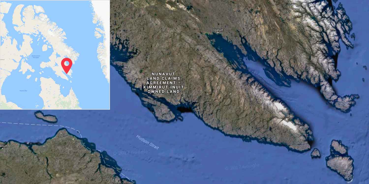
Map showing the location of Frobisher Bay on Baffin Island.
John Cabot was the first European to search for the ‘fabled passage’ as early as 1496. Frobisher tried again in 1576. He didn’t find the route, but he did find Baffin Island and made contact with the Inuit, the indigenous people living there.
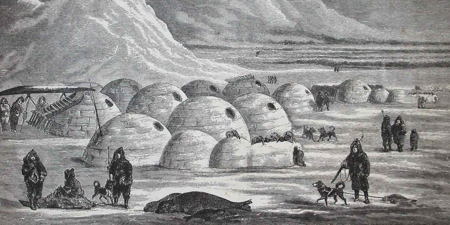
Illustration of an Inuit village, Oopungnewing, near Frobisher Bay on Baffin Island in the mid-19th century.
After Frobisher there were many more expeditions but it took almost 300 years to find a navigable route through the icy waters.
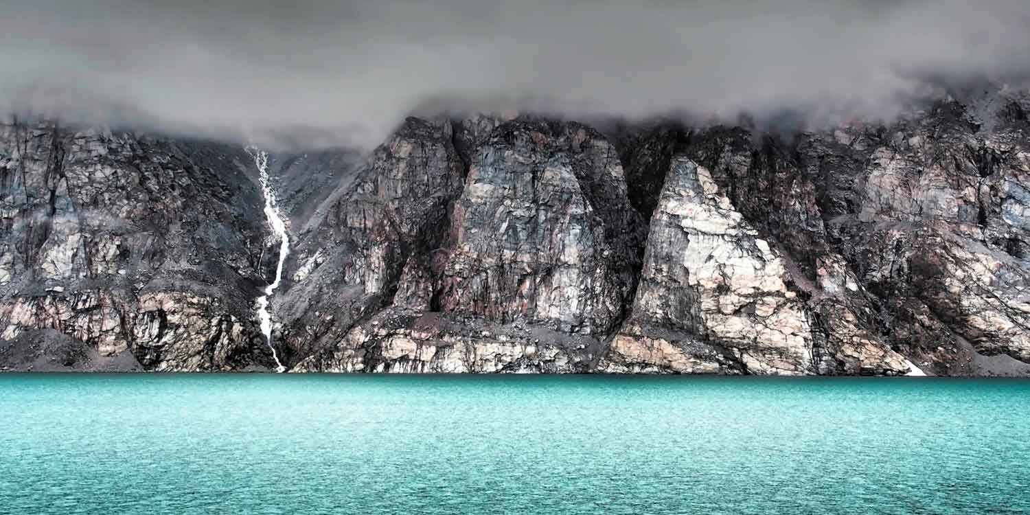
Forbidding cliffs of Baffin Island.
Why do you think Frobisher wanted to find a trade route to Cathay?
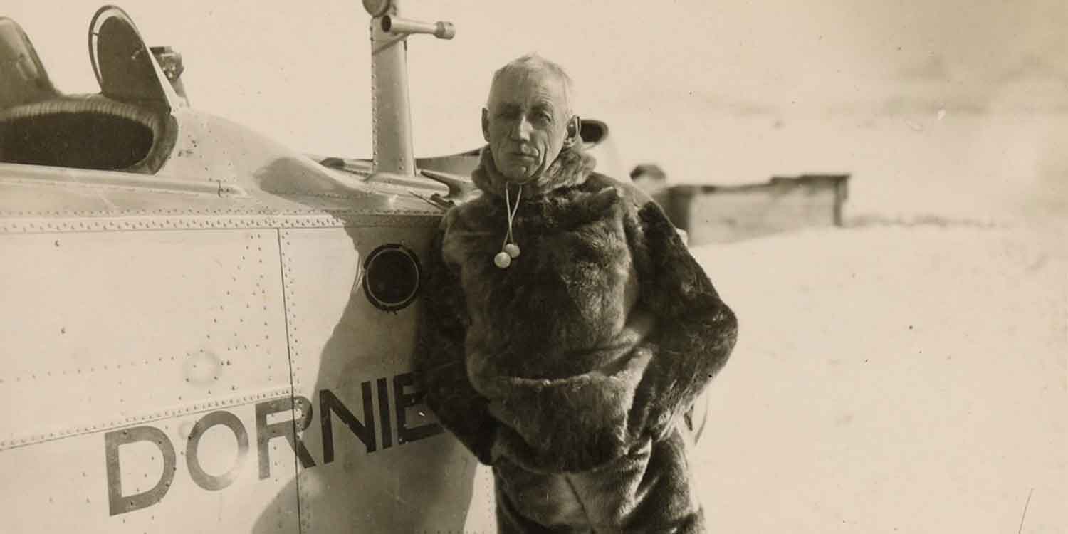
Roald Amundsen
Roald Amundsen
Roald Amundsen was a Norwegian explorer. Two factors aided his success in this extremely cold and inhospitable region: His ship the Gjoa , was small and easily navigable through the shallow channels. He spent time with the Inuit, people who lived in the region all year round and knew how to survive the harsh conditions. He learnt about dog driving, sledging and igloo building. Also he dressed, like the indigenous people, in clothes made from furs and skins of the native animals.
Roald Amundsen and crew aboard the Gjoa, Nome, September 1, 1906.
On 26 August, Amundsen saw a vessel coming from the west, and he realised he was through the passage. Here is a quote from Amundsen’s diary:
‘The Northwest Passage was done. My boyhood dream – at that moment it was accomplished. A strange feeling welled up in my throat; I was somewhat over-strained and worn – it was weakness in me – but I felt tears in my eyes... Vessel in sight... Vessel in sight...’
A missing expedition
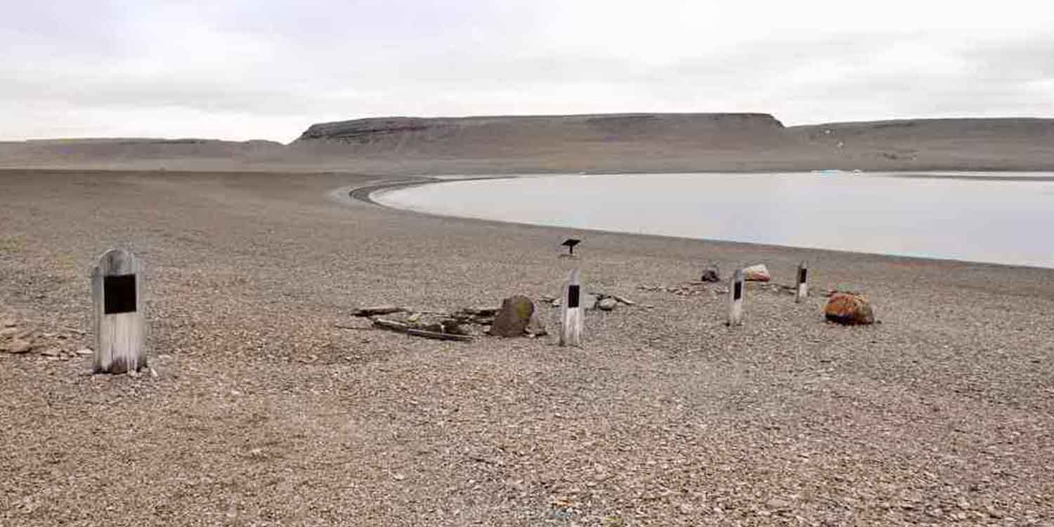
Beechey Island, Graves from the Franklin Expedition.
Over a period of 10 years many subsequent expeditions tried to find Captain Franklin and his men and their two ships the Terror and the Erebus. Arctic foxes were trapped and fitted with message collars and message bearing balloons were released in the area, in an effort to contact the men.
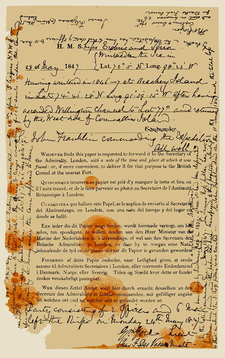
The crew had wintered in King William Island when their ships got stuck in the ice. They left two notes – a facsimile can be seen at the Royal Geographical Society Archives in London.
Franklin Expedition note from King WIlliam Island.
The Inuit had lived and hunted on King William Island for many generations but after Franklin’s crew killed all the wildlife for food, the Inuit had to abandon it.
None of the 129 crew was ever found alive. There are many theories about what happened to the men; lead poisoning from canned food; scurvy; even cannibalism – but there is no conclusive answer.
In 1984 the bodies of three crew members were discovered preserved in the permafrost on Beechey Island.
Robert McClure’s expedition between 1850 and 1854 proved the route existed but it would be over 50 years until it was fully navigated by ship .
Ice bound
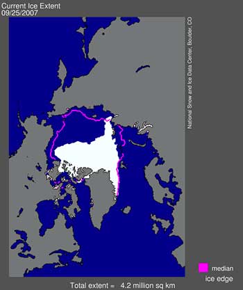
NOTE: THIS DIAGRAM IS PROBABLY OBSOLETE - NEEDS REPLACING!!!.
Historically the Northwest Passage has been ice bound for most of the year. Now ice conditions are changing.
In 2007 the European Space Agency (ESA) announced that the Northwest Passage was fully clear of ice in the summer season since records began 30 years ago.
The thickness and area of summer sea ice has been shrinking dramatically in recent years. Scientists link this to global warming.
Scientists forecast that the summer sea ice in the Arctic basin will retreat even further. This will prolong the shipping season in both the Northwest Passage and Northern Sea Route.
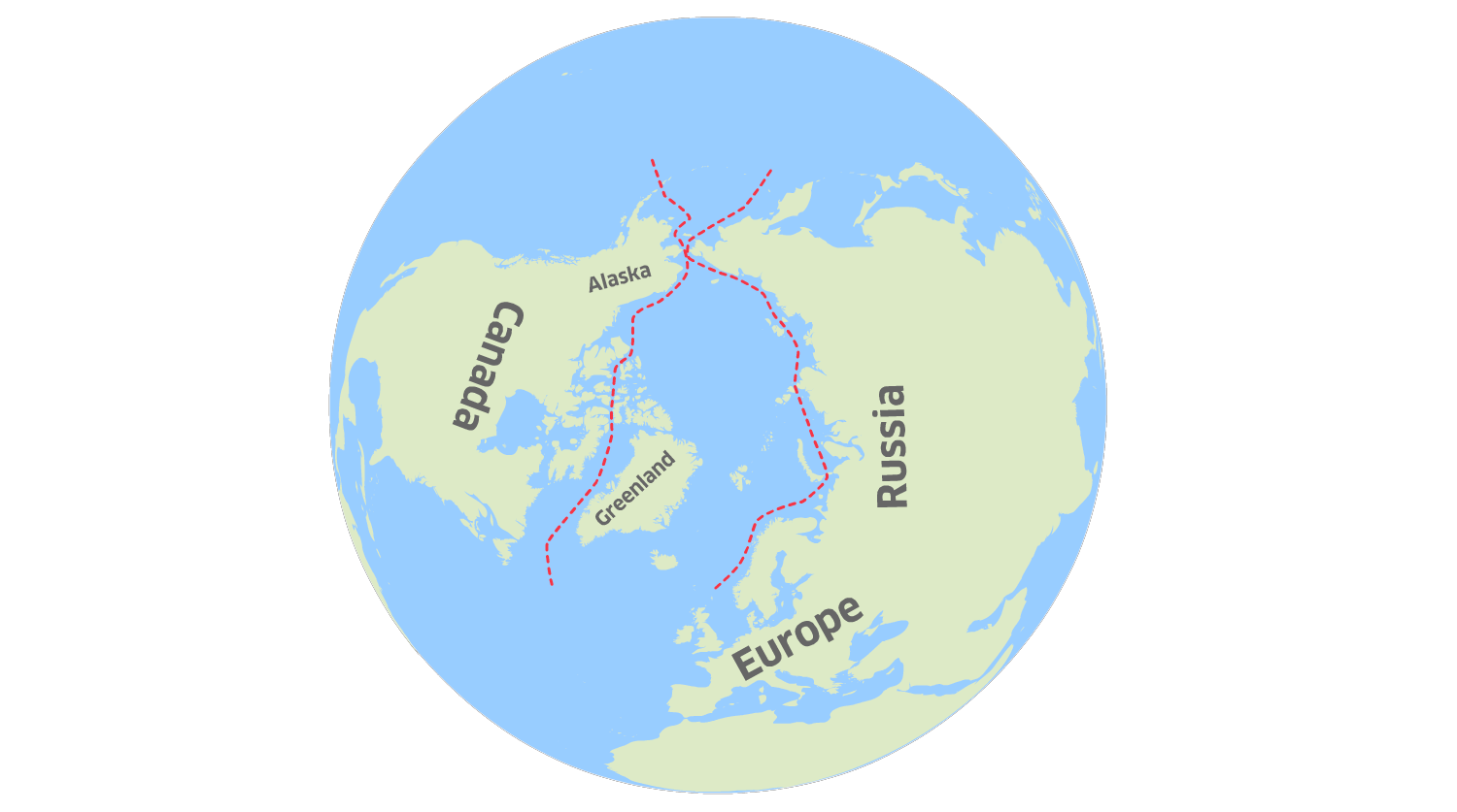
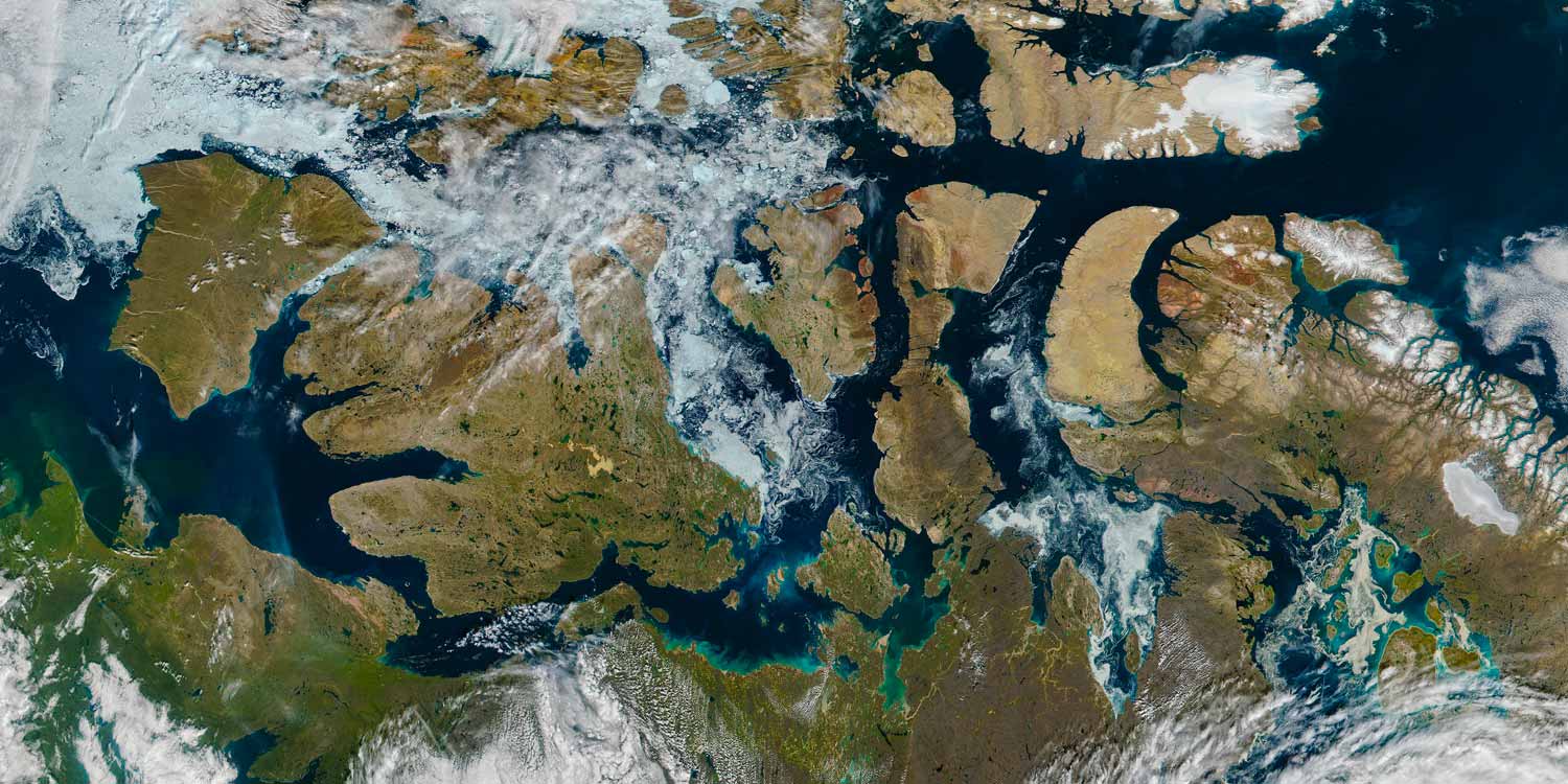
The Northwest and Northeast Passages
The North West Passage and the Northern Sea Route.
The Northern Sea Route follows the northern coastline of Norway, Russia, and Japan. It is a more straightforward passage compared to the riddle of channels in the Canadian archipelago, with several sea lanes or straits for ships to sail through. It is also the shortest sea route from Europe to the Far East.
This sea route is ice free for 8 weeks, from August to October. However with the help of Icebreakers, specially built ships that carve a guiding route through the ice,
ice-strengthened vessels can sail through this passage throughout the winter.
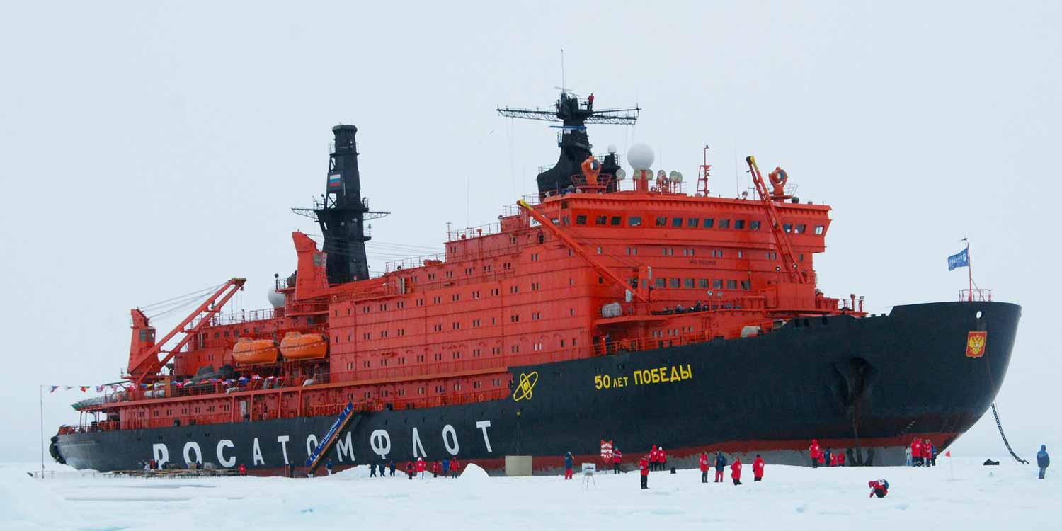
NS 50 Let Pobedy, a Russian nuclear-powered icebreaker.
The route is open to international shipping but is used primarily by Russia who established the passage in 1930s and claims jurisdiction. Any vessel that wishes to sail through the Northern Sea Route has to notify the Russian authorities, and pay a fee known as the ‘ice-breaker fee’. Russia has the world’s largest fleet of nuclear powered icebreakers.
Nearly two million tons of shipping goes through this route each year, much of it connected with the exploitation of natural resources. Ships also re-supply isolated settlements in the Russian Arctic with food fuel and building materials.
Both routes enter the Pacific through the Bering Straits but the Northern Sea Route, is considered the easier and quicker passage.
Can you name two other shipping routes that link Europe and Asia?
We don’t know!
A Nearly Ice-Free Northwest Passage.
Scientists just don’t know. They have run climate models which predict sea ice disappearing in 100, 50, or possibly earlier.
The polar seasons dictate the forming and melting of sea ice. Traditionally the summer melt season begins in March and end sometime during September. Now the melting season is growing longer and the sea ice minimum is occurring later. Sea ice minimum is when the sea ice extent is at its lowest. At the Centre for Polar Observation and Modelling at University College London, - part of the National Centre for Earth Observation, scientists have made the first study to measure ice thickness throughout the Arctic Winter from October to March. Research found that ‘last winter the average thickness of sea ice over the whole Arctic fell by 26 cm (10 per cent) compared with the average thickness of the previous five winters, but sea ice in the western arctic lost around 49 cm of thickness in winter 2007/08’ (NERC).
Icebreakers
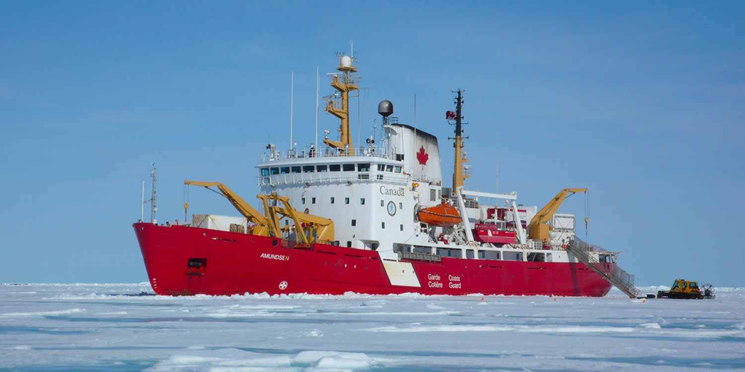
The CCGS Amundsen, an icebreaker and Arctic research vessel operated by the Canadian Coast Guard.
During summer (June to early November) there are six icebreakers operating in the Arctic, assisting shipping, delivering cargo to some isolated communities maintaining a Sovereign presence, and conducting essential science missions.
The Canadian Coast Guard’s clients include: commercial vessels, fishing vessels, Arctic residents, port operators and the general public. One of the main roles of the Canadian Coast Guard Icebreaking Programme is Route Assistance, organizing convoys and escorting ships through ice-covered waters, freeing vessels trapped in ice and keeping shipping channels open.