The Svalbard Archipelago lies 750 kilometres north of the coast of northern Norway at 74° - 81° N and 10° -35° degrees E. The name means ‘cold coasts’ and 60% of the land is covered with ice. In the past, the area was famous for whaling, later for coal mining, and now for scientific research and tourism. Although far into the Arctic north, it is accessible in the summer months by ship and year round by aircraft.
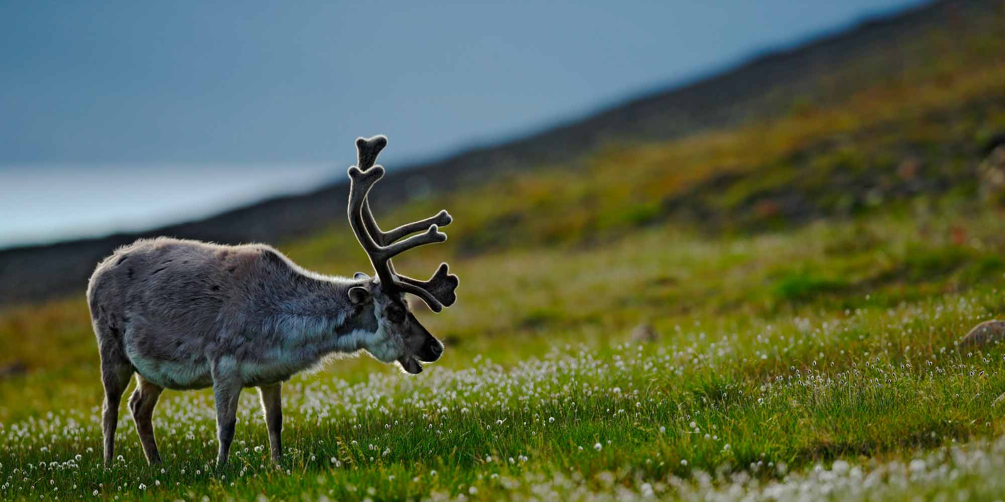
Reindeer on Svalbard.
This far north the sun is down from the end of October until the middle of February, and the midnight sun lasts from the middle of April, until late August. A summer in Svalbard is like a British winter with temperatures in the high summer averaging 5°C. In the winter the temperature can drop to -40°C. The seas freeze when the water temperature reaches -1.8°C. This fragile wilderness is largely protected, with national parks, nature reserves and bird sanctuaries. Spitsbergen is the largest island and has a regular air service from Norway.
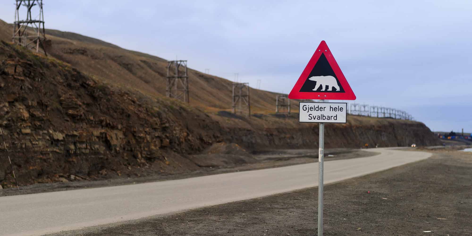
Polar bear warning sign, Longyearbyen, Svalbard.
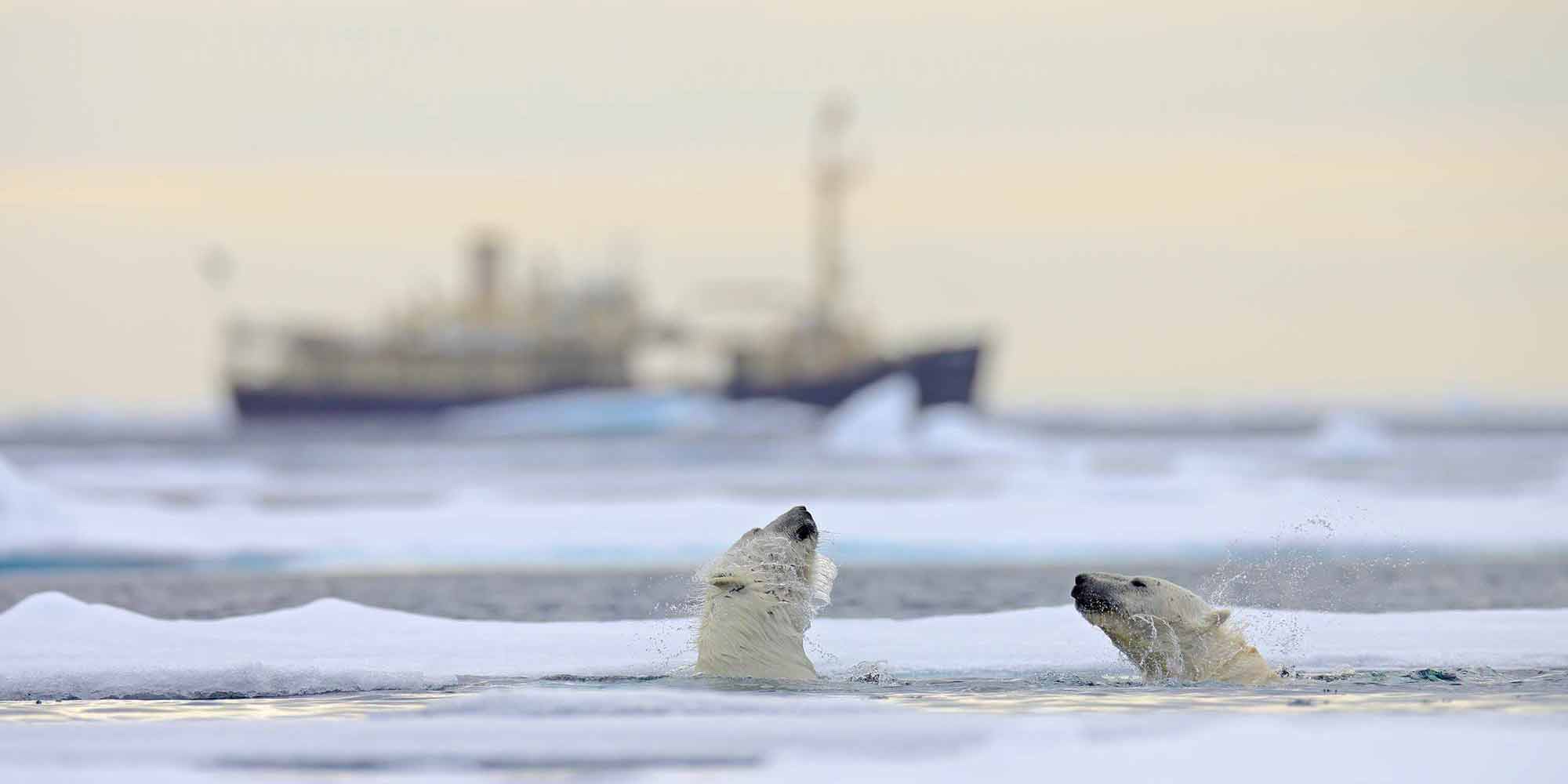
Tourism has increased in recent years, cruising along the west coast of Spitsbergen is very popular. Nonetheless, many islands remain closed to visitors, especially those used for environmental research or where polar bears are more frequently seen. Visitors to Svalbard are encouraged to protect the local environment and wildlife, and consider their own safety in this remote wilderness, especially if they meet a polar bear!
Go to visitnorway.com to find out more about advice for tourists.
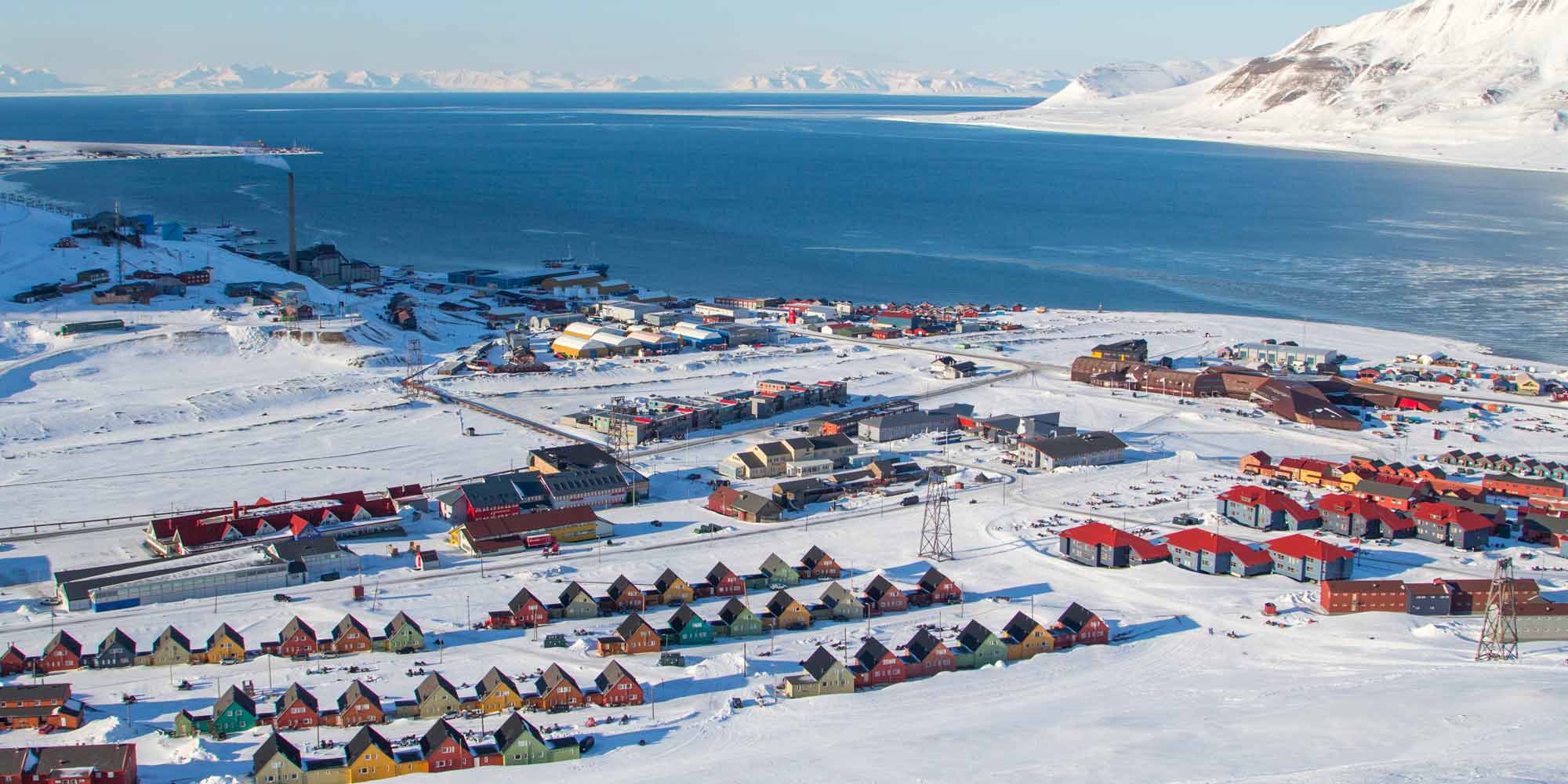
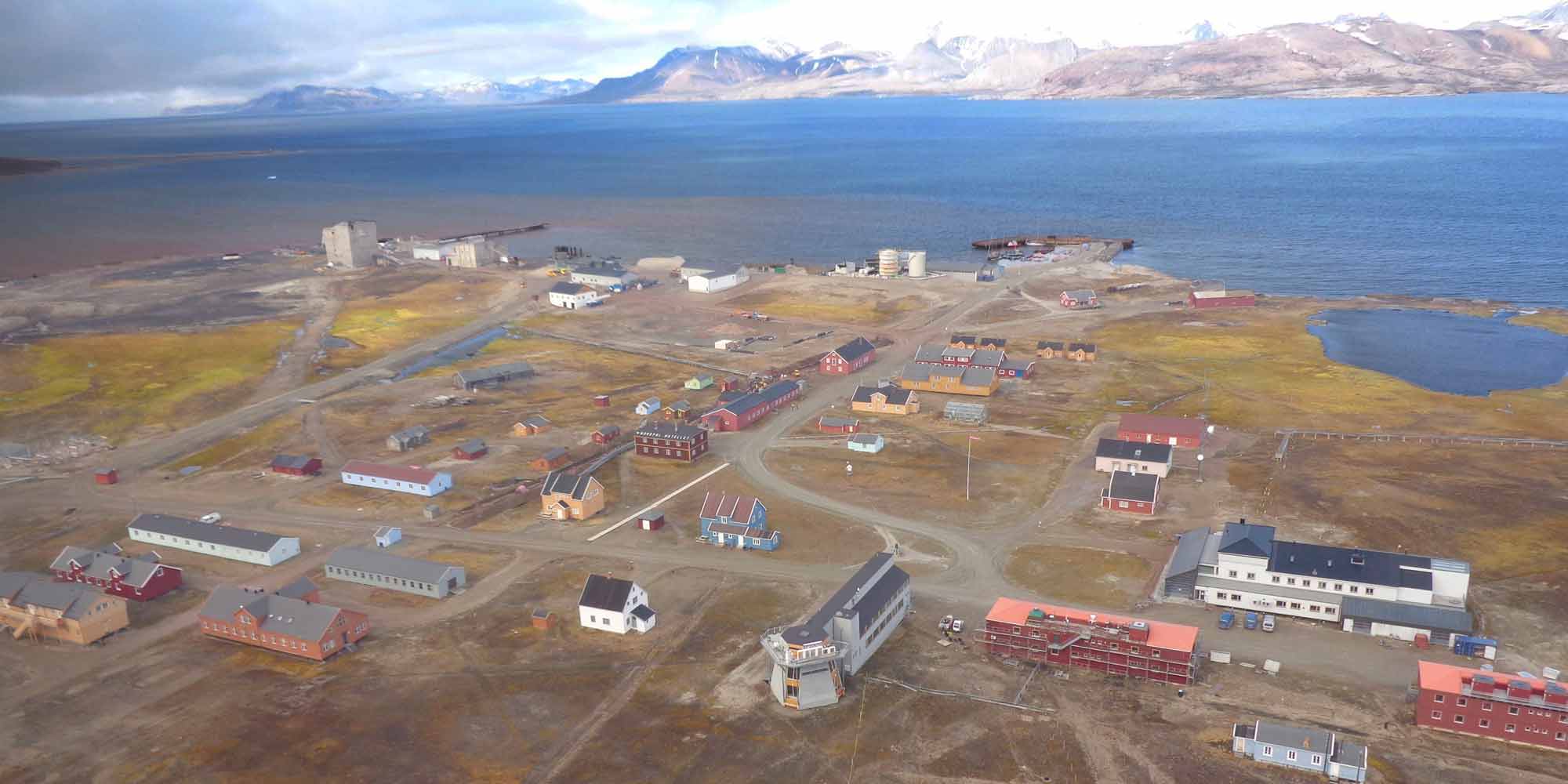
The town of Longyearbyen, Svalbard, seen from the air.
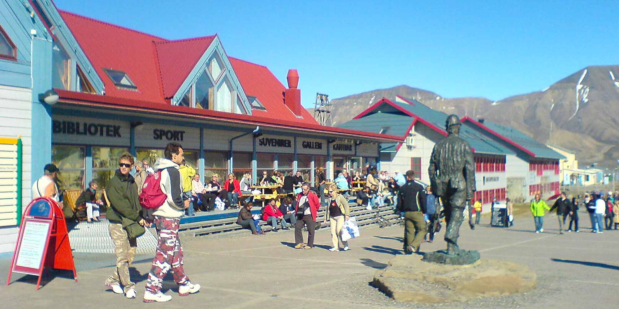
Spitsbergen is the main island, with several settlements including the coal mining town of Longyearbyen (78° 13N 15°38E), established by American John Munroe Longyear in 1901.
Shopping in Longyearbyen, the most Northerly settlement in the world.
For many years there was only a campsite and a guesthouse, but with the increase in tourism and the establishment of the international research centre, the town has grown rapidly. Now there is a five-star hotel, tourist shops selling souvenirs and cold weather clothing, a supermarket, and businesses offering adventure trips.
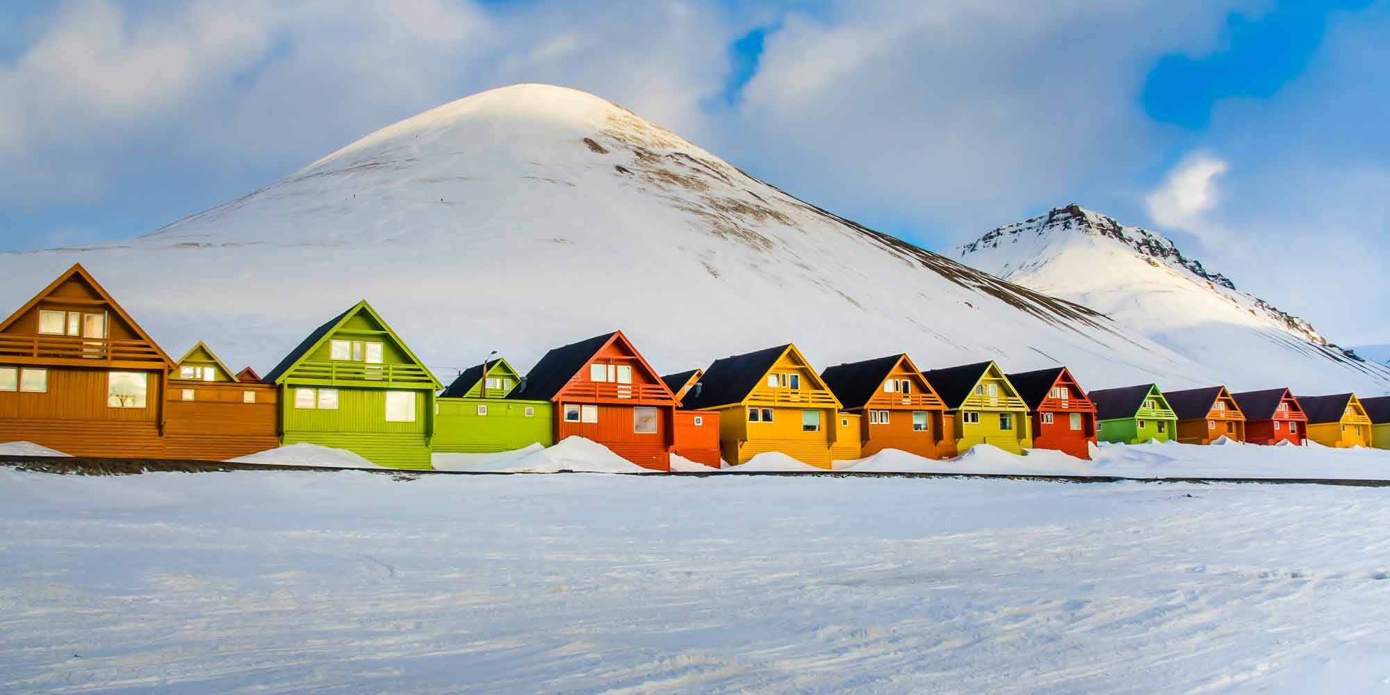
The colorful houses of Longyearbyen.
In recent years snow scooter excursions have increased, and inexperienced drivers have damaged some areas of exposed tundra which can take years to recover. Now concern for the environment has led to restricted snow scooter travel.
In summer the only access is on foot or by boat. In the winter a map available locally shows routes for snow scooter travel, either unescorted, group escorted, or no access at all.
Ny-Alesund
NY-Alesund seen from the air.
Ny-Alesund (79° 55N 11° 55E) is an international research community, with fifteen stations, owned by ten nations, covering many sciences including marine biology and earth, life and atmospheric research. To visit the community permission must be obtained from the research stations or the Norwegian Polarinstitutt. It is important to keep the surrounding tundra and ice pristine for research purposes. The Kings Bay Company, a former mining business, own and run the site.
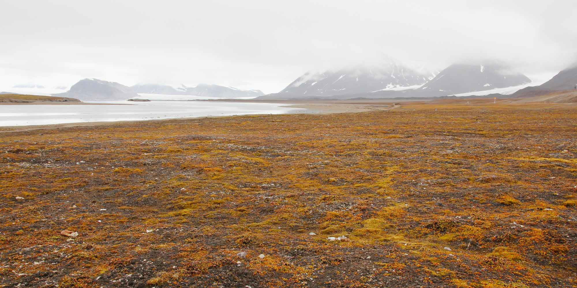
Panoramic view into the tundra near Ny-Alesund, Svalbard.
The UK National Environmental Research Council runs a station at Ny-Alesund with laboratory space and field support facility. Each year up to 40 scientists can research earth and life science field projects, including ornithology, terrestrial ecology, marine biology, glaciology, and marine research. PhD students can spend time studying the environment and learning polar fieldwork techniques.
The station is managed by the British Antarctic Survey, and is open when required in March and April (the sun shows for the first time on March 8th) and is always open from June to September, during the Arctic summer.
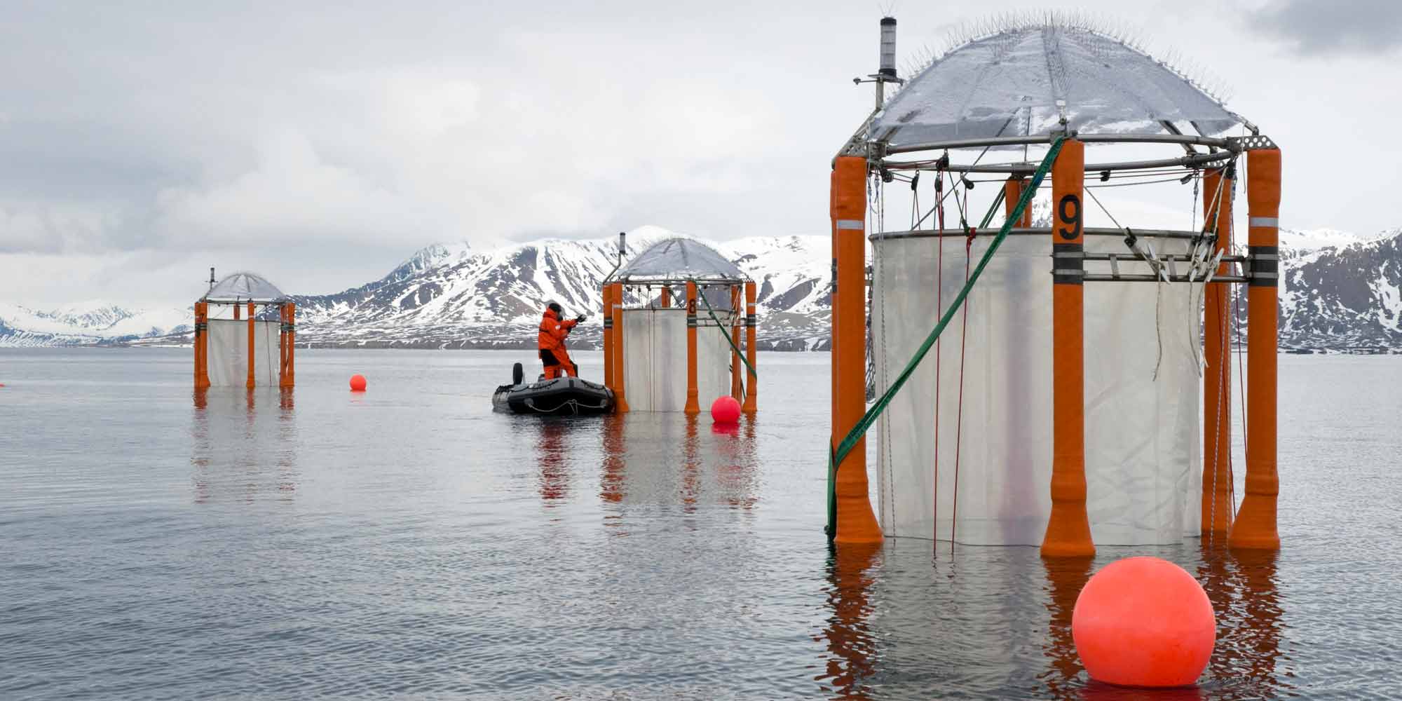
Scientists sampling mesocosms during an outdoor experiment investigating the reactions of marine organisms to ocean acidification at Kongsfjord, Ny-Alesund, Svalbard.
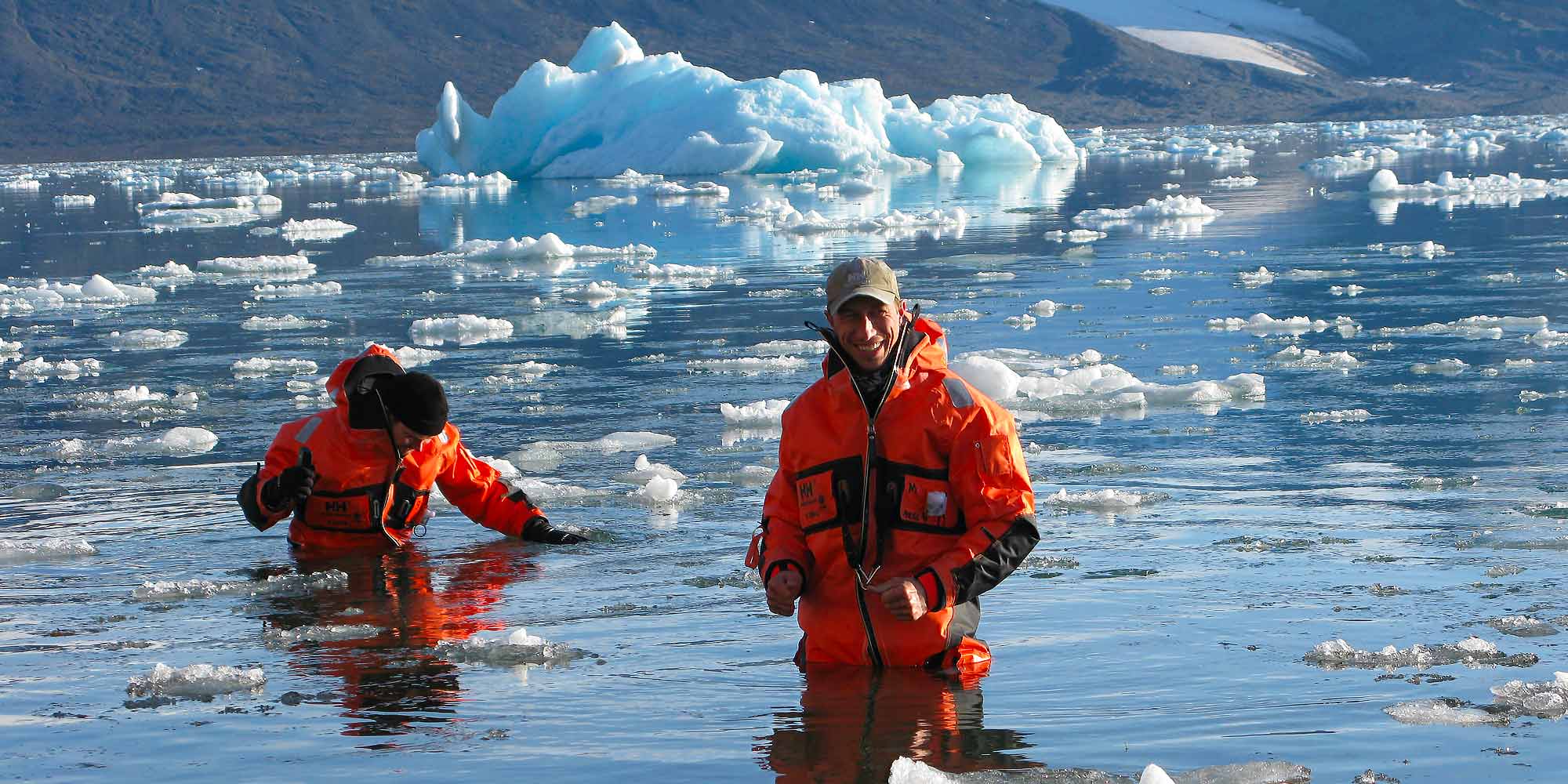
The opportunity for field work is the main attraction for scientists at Ny-Alesund. It is a chance to experience and observe the environment and wildlife first hand.
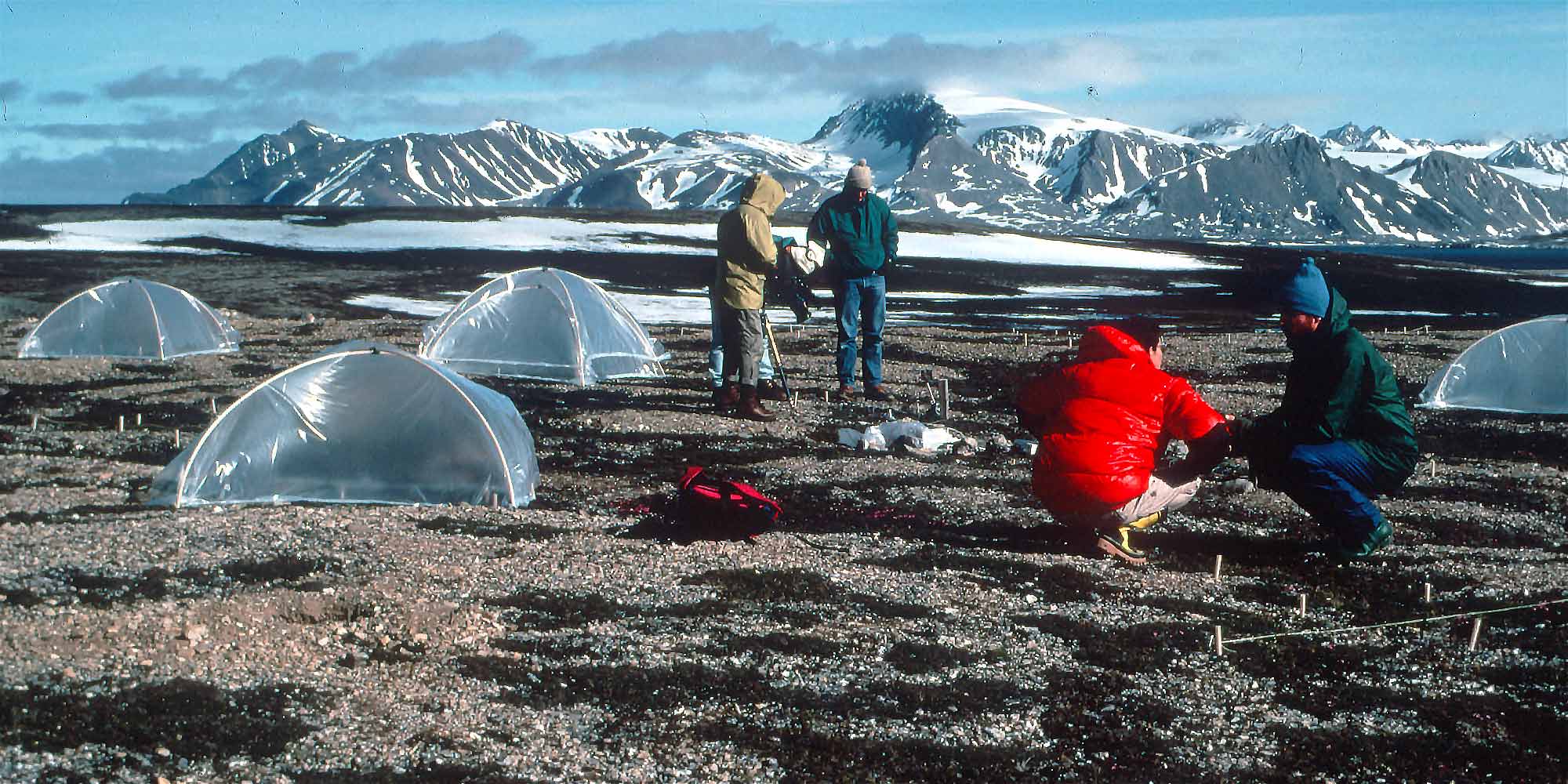
Studying the effects of warming on insects and other arthropods.
If the research area is close to the station, equipment can be packed onto sledges and attached to snow scooters or skidoos. If scientists are working further away a temporary field camp will be set up with tents, or use of an old trappers hut. If necessary, a large hole is dug in the snow to create a freezer for the food!