Permafrost is frozen soil and bedrock, which underlies much of the land north of the Arctic Circle.
One of the most distinctive elements of the landscape of the far north is permafrost. This is frozen soil and bedrock, which underlies much of the land north of the Arctic Circle (and some areas further south), producing a periglacial landscape.
The word ‘permafrost’ is perhaps a little misleading. It suggests that the ground is permanently frozen, whereas many areas have undergone periodic thawing and refreezing, and by definition, permafrost is ground that has been frozen for as few as one or two summers.
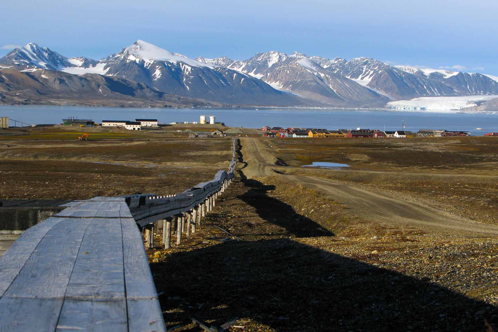
Snow, water, ice and permafrost in the Arctic
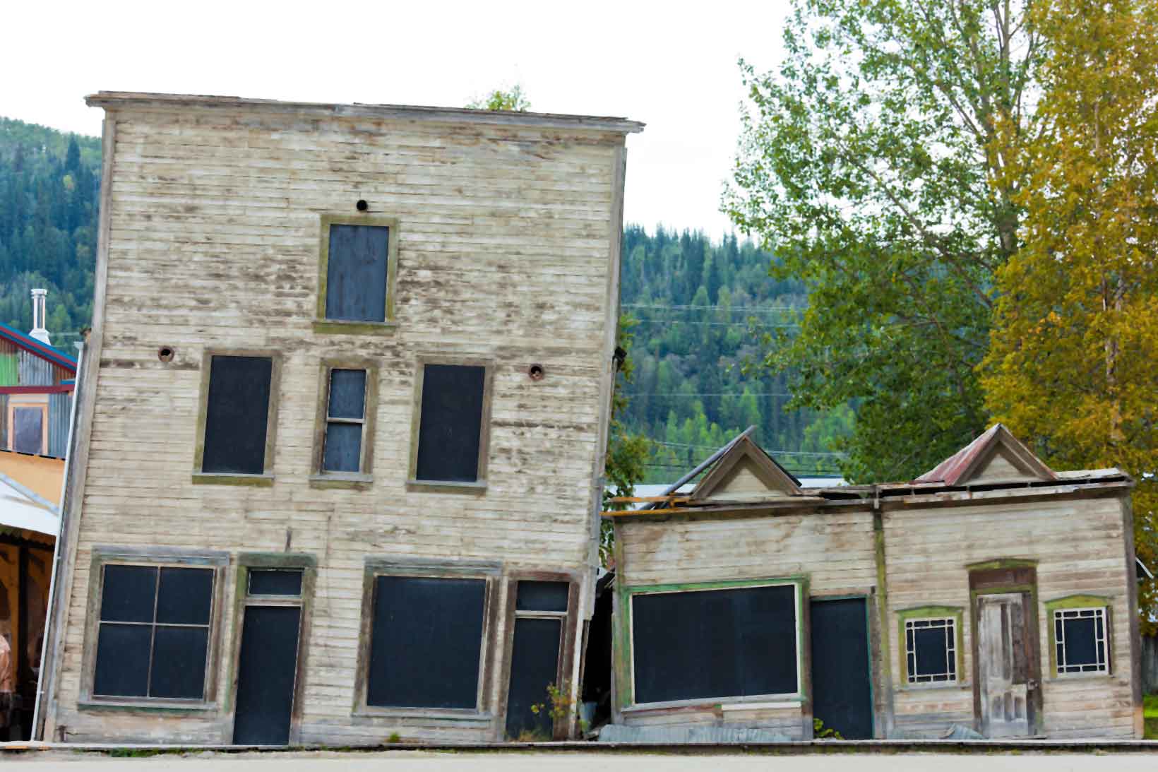
One of the signs of permafrost is leaning trees, and also leaning houses. Undulations in the ground surface happen because the thawing ground settles unevenly. Permafrost creates challenges for people hoping to build in areas beyond the Arctic Circle.
There are different types of permafrost:
- Continuous: an area which is underlain by permafrost with very few unfrozen areas and a mean annual temperature of less than -5°C
- Discontinuous: an area which is underlain by permafrost but has small areas of thawed ground due to aspect (e.g. south facing slopes) or variations in the nature of the ground or vegetation (e.g. forests). In these areas temperature are slightly warmer.
- Sporadic: an area which is mostly unfrozen due to a mean annual temperature of just below 0°C, but has occasional patches of frozen ground.
Permafrost has an active layer; the top few inches can thaw slightly during the summer months, releasing the ice as water. This layer of slushy soil is mobile, which means that it can move downslope, sliding over the frozen ground. Any unfrozen material in the permafrost is called talik.
In the Arctic region there is deep permafrost going down hundreds of metres. The permafrost may contain accumulations of ice called lenses. As these thaw, the ground above subsides.
The study of permafrost unlocks a whole range of technical terms which may be unfamiliar. Many of them have Russian origins, as a lot of the work on permafrost landscapes was completed in that part of the world.
Create a dictionary
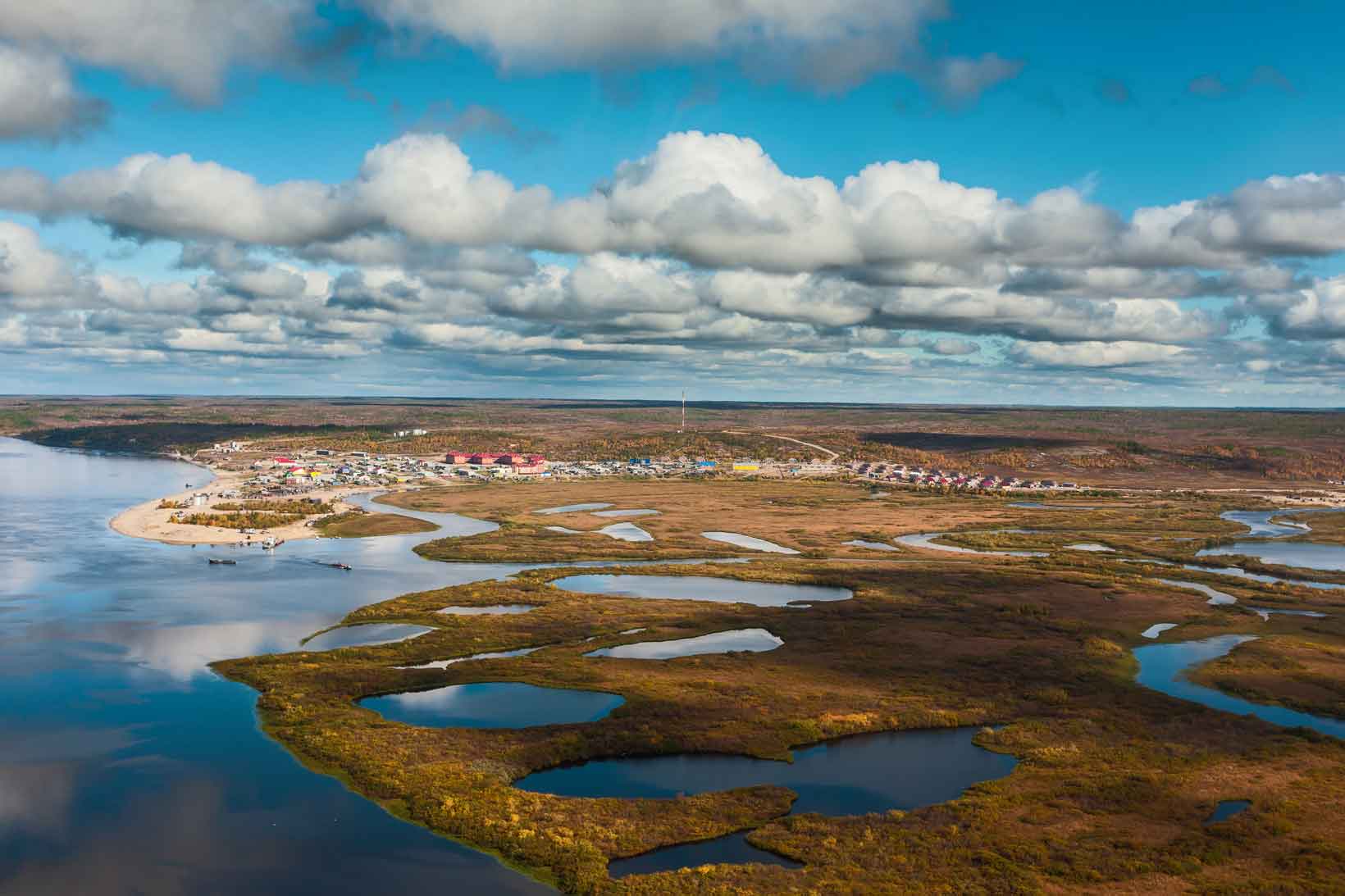
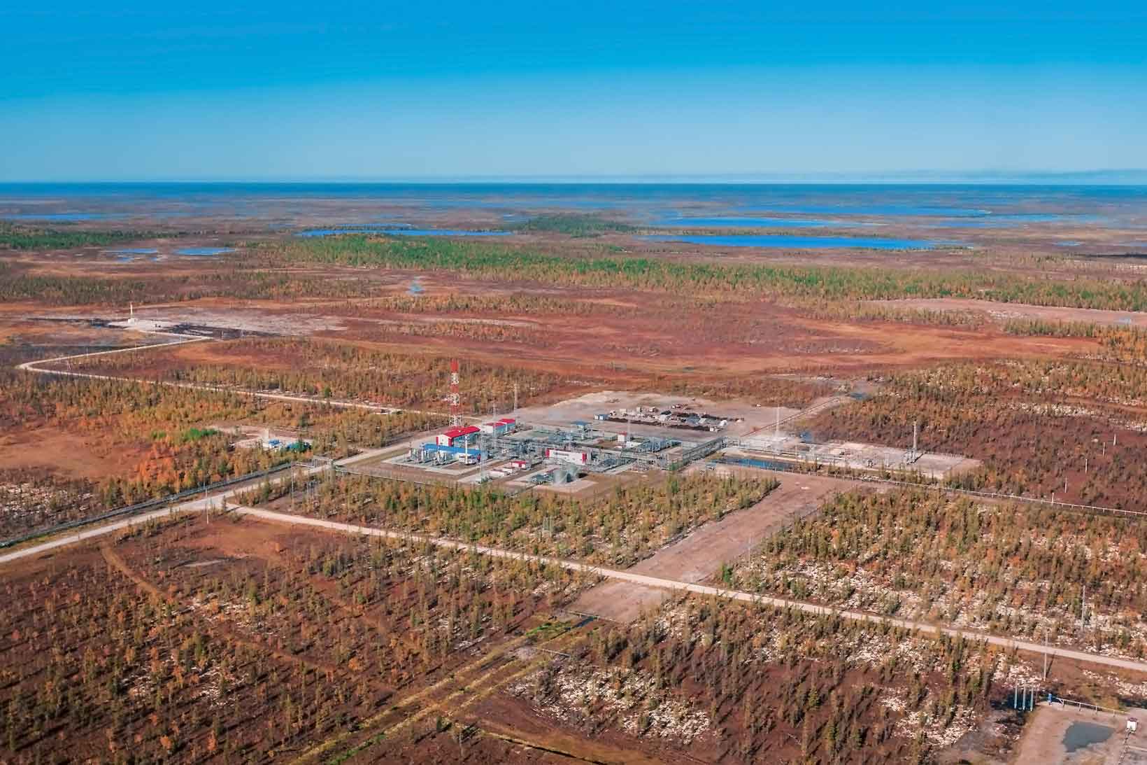
Create a dictionary of terms and materials relating to permafrost and the features that are being created in the areas where it is found. Some of the terms might be a bit unusual! Here are a few to start you off:
- Talik
- Palsa
- Pipraker
- Alas
- Stone polygon
- Pingo
- Frost blister
- Solifluction
- Naled
Change is coming
As you might expect, climate change is having an impact on the Arctic permafrost. Ground temperatures in many permafrost areas are increasing, especially in the very cold Arctic and High Arctic. The 2017 SWIPA report suggests that here, the near surface permafrost has warmed by 0.5°C since 2007-9. The rising temperatures in the permafrost have a number of implications in the Arctic region:
- The area covered by surface permafrost is projected to have shrunk by up to 35% by 2050.
- Declining snow cover, permafrost, lake areas and lake ice have implications for ecosystems, as well as hunting, fishing, reindeer herding, transportation and drinking water availability.
- The average date that the active layer (the layer of ground that thaws in the summer) refreezes is becoming later: it is already almost two months later than 30 years ago.
- The depth of the active layer is increasing.
These ongoing and predicted changes to the area, depth and duration of the active layer have serious consequences for people living in the Arctic region as the seasonal ground instability affects homes and infrastructure. In addition, the melting of the permafrost releases additional carbon dioxide and methane – both greenhouse gases – to the atmosphere, further accelerating climate change. This is an example of a positive feedback mechanism.
There is also change at the coasts where erosion of the permafrost ice can lead to coastal collapse and the retreat of coastlines. The Extreme Ice Survey is the most wide-ranging glacier study ever conducted using ground-based, real-time photography. EIS uses time-lapse photography, conventional photography, and video to document the rapid changes now occurring on the Earth’s glacial ice.
The EIS team has installed 43 time-lapse cameras at 24 sites in Greenland, Iceland, Alaska, and the Rocky Mountains. In this time lapse video of Drew Point, Alaska shows the sea undercutting the white permafrost with the brown, thawed active layer above collapsing into the sea.
- Coastal erosion reveals permafrost at Kaktovik Alaska – view this Powerpoint presentation, which gives further information about the process.
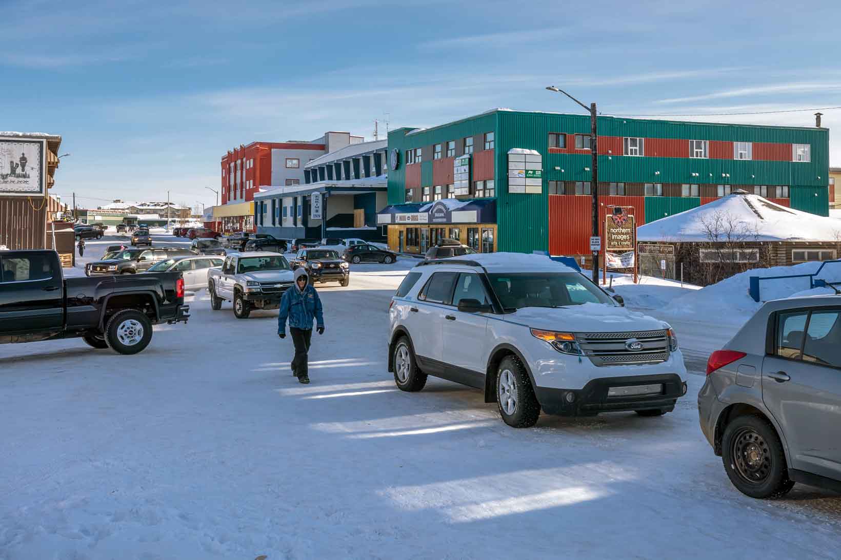
Almost half of Canada’s land mass is underlain by permafrost. People inhabiting settlements in these northern territories are reliant on the permafrost remaining frozen and stable. Their housing, transport infrastructure (including roads and runways), energy pipelines, water security and drainage can all be affected by permafrost changes, which are caused not only by climate change but also by the building work itself. There may also be changes in the magnitude and frequency of extreme natural events, such as landslides, avalanches and flooding as the thawing land becomes more mobile.
Canadian engineers are currently researching ways of adapting infrastructure to take into account the impacts of climate change.
Design a house
Design a house that might be able to survive in permafrost areas. Remember that the heat from the house must not reach the ground or it will thaw out the soil.
You should consider the cold temperatures, strong winds, long days in summer and long nights in winter. You will also need to accommodate services such as electricity, water and sewage, and make sure that winter snow accumulation is able to fall off the roof.
- Can you future proof your house?
- What challenges will climate change bring in the future and can you plan for these in your design?
- The Frozen Ground section of Climate change – Losing the ice provides more information.