The thickness and area of summer sea ice is shrinking at an unprecedented rate.
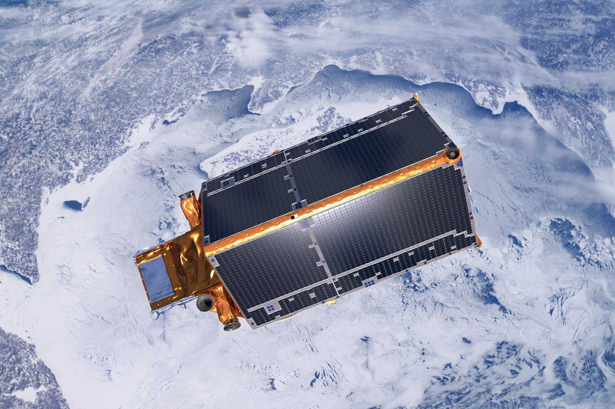
The thickness and area of summer sea ice is shrinking at an unprecedented rate, making this a key area of scientific research in the Arctic region. Scientists link this change to global warming. They have run climate models which predict that Arctic sea ice may disappear altogether in one hundred, fifty, or even thirty years. Scientists need comprehensive data in order to predict more accurately. The results from the European Space Agency’s Cryosat Project help to inform their models.
The Polar Regions are more susceptible to climate change than other areas of the world. In the Arctic large areas of white snow and ice reflect heat from the sun, keeping the region cool. This is called Albedo. As temperatures rise across the globe, the extent of the area covered by ice and snow is reduced. This leaves bare land and open dark water, both of which absorb sunlight rather than reflecting it. This raises temperatures and makes the region warmer. Knock on effects of warming include changes to wind and water currents, affecting patterns of weather around the world.
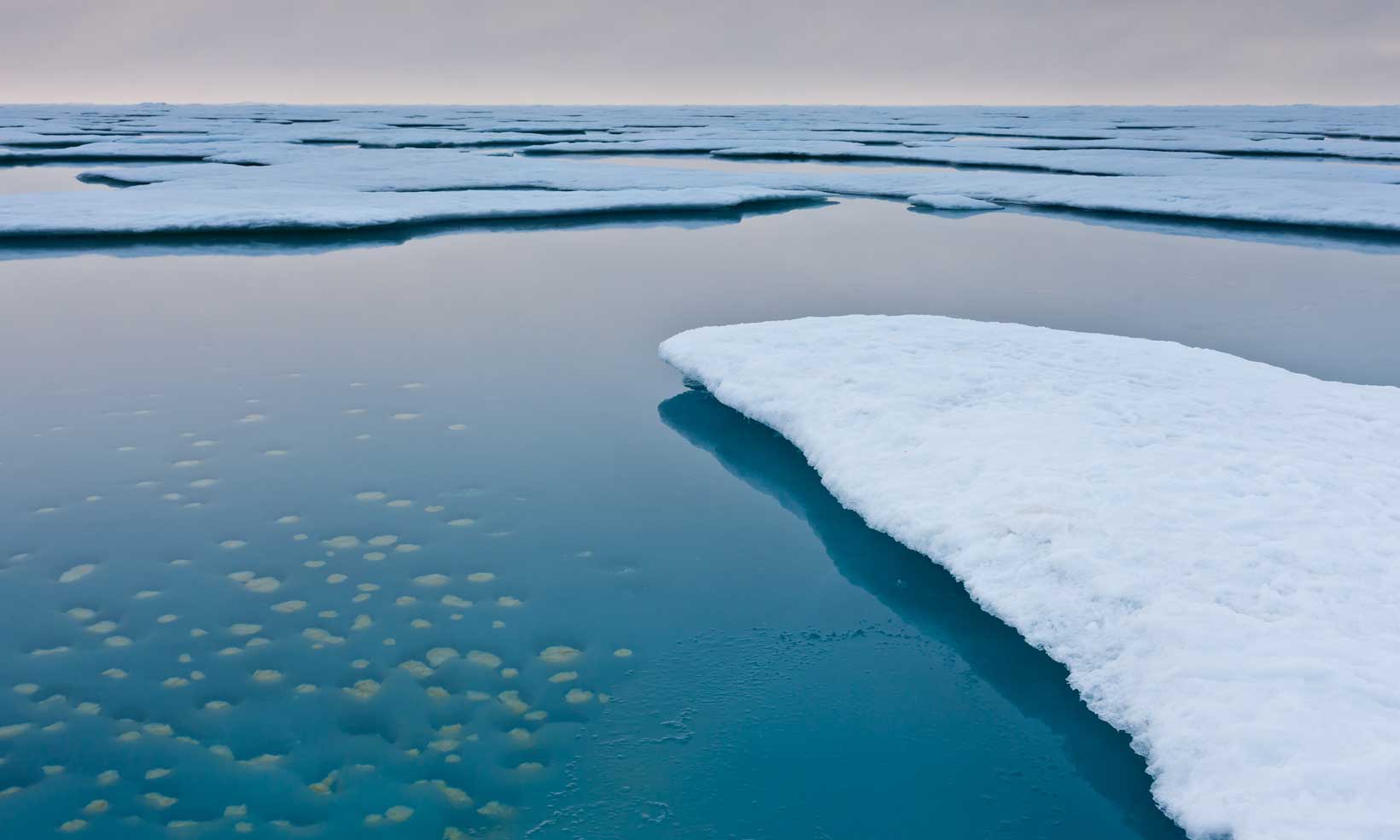
The forming and melting of sea ice in the Arctic region is dictated by the polar seasons. Traditionally the summer melt season started in March and ended in September. With global warming, the ice is melting earlier and forming later. The bare ground and dark sea is exposed for longer, enhancing the Albedo. This is called positive feedback.
SWIPA predicts that by the 2030s, the Arctic Ocean could be free of sea ice in the summer. Some scientists think this might happen even sooner. However, we do know that in 2007 Arctic sea ice melted to leave an area of just 4.1 million square kilometers, the lowest on record, and that this was matched again in 2016.
You can keep track of the Arctic sea ice on the National Snow & Ice Data Center website, with photos and news updates.
- How does the extent of the 2017 sea ice compare to previous years?
How is the data collected?
Satellite images are useful in mapping the extent of the sea ice, it is much more difficult to distinguish between ice and snow, or to measure the thickness of the ice. The only way to do this is to go to the region and physically measure it through coring. Cores are holes drilled into the snow and ice to measure the depth and record the temperature of the sea beneath the ice. The snow and ice removed can also be analysed to determine its age (how long it has been there), and the concentration of gases within it to study changes over time. The best time of year to do this is in winter and early spring when the ice is at its greatest extent. At this time of year the sun is below the horizon for most of the day and temperatures can reach as low as -50°C.
The British Antarctic Survey has lots more information about ice cores and how they can be used to investigate climate change.
You will also find more information in the climate change section of this website.